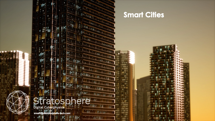
The impact of rising urban populations has driven the adoption of the Smart Cities concept to prioritize the use of digital and technology innovations to address long-standing urban challenges. Digital innovation is a topic of growing importance as projections for water resources, energy use, and other key services become more dire. For example, the global demand for water is set to increase 55% by 2050, and the global demand for energy is expected to increase 28% by 2040. These challenges exist within the context of already strained municipal infrastructure; road congestion rises each year and housing costs soar in urban areas. At the same time, technologies such as videocameras, sensors, and other devices are collecting more information about cities, and at very granular levels. This data can be used to help plan for, and mitigate, the impact of urban population growth and to improve urban resilience.
These technologies offer a world of increasing data opportunities but also increasing data complexity. As a result, robust tools that can support more sophisticated, collaborative planning are critical for municipal organizations. Urban planners, emergency management, transportation agencies, and executive leadership must be able to share and process information quickly to respond to events. This requires information to be presented in a way that is immediately understandable and actionable.
Digital twins are a technology solution designed for the collaborative use of complex data. They help address the following challenges:
▪ Data is becoming larger and more complex while being generated at a faster rate.
▪ Cohesiveness in an organization is hard to achieve without a shared version of the ground truth from which to build actionable consensus.
▪ The rise in connected devices allows cities to take a holistic approach to addressing issues at both the neighborhood level and the citywide level. Systems thinking approaches become more necessary to solve the critical issues of the day.
Digital twin technologies represent a piece of the next step in the evolution of complex information presentation. For cities to be more resilient, they should consider the power that virtual twin simulations offer to see and ultimately transform the future. “What if” scenario planning can be a key difference in preparedness levels; using virtual and augmented reality to enable robust “what if” planning makes it possible to see multiple potential futures, test their consequences and implications, and then work to build the best possible future.
The digital, or virtual, twin is a solution-based approach capable of producing high-fidelity copies of a city or other geographic space. This digital copy is based on a wealth of potential data sources such as GIS base layers, IoT sensor data, historical data sets, and other Smart City sources such as crime data and multichannel nonemergency citizen reporting systems like “311” systems, environmental monitoring, planning and permitting, and transportation infrastructure. Bringing together this breadth of information in a three-dimensional, high-fidelity, single source of information enables organisations to conduct better analysis and more accurate scenario planning.
At its heart, the digital twin is all about data combination and collaboration functionalities within a centralized referential. While storing data is often easy, utilizing data to its fullest potential is time consuming. Cleaning, processing, acquiring, and presenting high-quality data can require large amounts of technical know-how and stakeholder buy-in to get to sufficient usability. Local government organizations have a multitude of data, but often the data is not easily shared or combined, especially across departments that may use different systems and collect and store data in variety of different formats. This makes planning and scenario modeling/what-if scenarios more difficult because scenarios (e.g., traffic planning in case of an emergency or the impact of a storm surge and rising water levels) aren’t limited to data held within one group in a city. The power of the twin is in its data integration, visualization, and collaborative functions used in combination. Bringing the data into a single platform capable of visualizing it in sophisticated ways using 3D modeling makes the information instantly understandable and usable by a wide variety of stakeholders. As the saying goes, seeing is believing, and these kinds of models take that to a new level. Good collaboration is all about bringing stakeholders together in a way that allows them to see and work with a validated and shared single version of the truth, especially if it is distributed and accessed in a federated way across multiple sites and departments. Without this collaboration, finding good solutions becomes almost impossible. When working on a solution as a team from agreed-upon ground truth, everyone starts from a stronger position to move quickly and effectively.
The scenario planning and hypothesis testing capabilities of the technology will continue to increase as platforms develop and new data is added. Providing stakeholders, government agencies, and urban planners with the ability to “play through” a scenario and see the impact of different variables on the urban ecosystem as a whole was extremely hard for most data analysis and visualization technologies. Having data-driven insight into potential solutions and places of opportunity and giving that insight to agencies will make programs targeting those particular areas of need much more effective overall. Being able to formulate questions and then test hypothetical scenarios, such as what will happen if there is a disaster or how will a new development plan impact traffic, makes it easier to understand and analyze the information and then communicate the results to stakeholders using these types of platforms.
Several leading-edge digital cities are beginning to take advantage of digital twin technologies. Singapore; Jaipur, India; and Rennes, France have already made investments to consolidate their data and bring their digital twin to life. These cities are using the platform for climate analysis and energy efficiency, traffic and public transit planning, permitting and zoning, and urban development.
Singapore currently uses digital twin technologies. Its power starts with the wealth of data that city planners bring into the system, such as terrain and water, infrastructure, transportation, and even vegetation information. Users of the system can then add additional data layers to the model with incredibly fine details about buildings not only with geometry and statistical characteristics but also with attributes such as building composition and materials. This detailed digital twin allows planners to run a simulation, see 5G coverage, create detailed plans for emergency evacuations and crowd control, and look at transportation flows across the entire city. Having this new level of sophisticated information will continue to unlock insights into the rapidly evolving urban landscape for years to come.
Stratosphere S.A. Has a beyond state technology fully aligned with the major tech trends. The company developed over the last 10 years technology for Digital Twins, SHM, WHM and IVHM, AFS and Small Satellites. Our technology is one of the most advanced frameworks in the Industry.
Stratosphere S.A. is a global provider of integrated health management solutions. The robustness and integration of its solutions are the pinnacle of SHM systems.
bizdev@stratosphere-tech.com